Loading...

Welcome

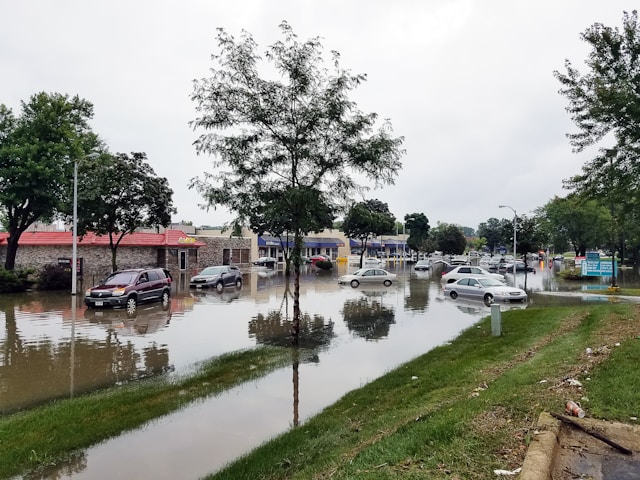
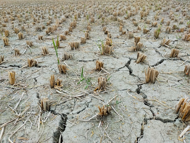
NASA Water Insight provides essential information for managing water and land resources for the benefit of all sectors of society. State and federal agencies are working together to develop this system over North America to monitor and forecast precipitation, soil moisture, snow, groundwater, streamflow, and other variables critical for water resources, energy, and agriculture managers, as well as for early warning of drought and flood conditions.

Water Availability

Water Availability

Mapping water for human use, energy, agriculture, and ecosystems.

Read More →
Floods

Floods

Data-driven insights for flood preparedness.

Read More →
Droughts

Droughts

Mapping droughts and drought conditions throughout the U.S.

Read More →

Featured Data Stories

Flooding in 2019 - Tale of a Terrible Year

NASA Models and Remote Sensing Datasets Capture Cascading Impacts on Midwest Farmers

Human Impacts on the Mississippi River Delta

NASA Models Reveal Climate-Induced and Management Impacts on the Mississippi River Delta

Water Quality in the Mississippi

NASA Land Surface Models Capture Water Quality Trends in the Upper Mississippi Basin

Loading...